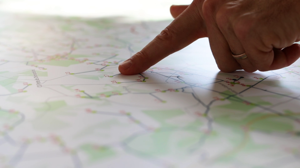
To answer requests from contractors planning works near their assets, Distribution Network Operators must maintain large-scale maps that locate every cable of the network with high accuracy.
While this level of detail is essential for works on site, such maps are usually hard to read: complex and overlapping routes, unnecessary details, crossings…
To overcome this, some operators maintain a second model, known as a medium-scale or geoschematic map, which is simpler and easier to read. However, drawing a geoschematic map by hand is tedious, and maintaining two models inevitably leads to inconsistencies and discrepancies between them.
Our solution
Automated generation of geoschematic maps
Roseau Technologies automatically turns your high-accuracy maps into a geoschematic map: a simplified, readable representation of your medium and low voltage distribution network that preserves electrical connectivity and the location of network assets.
Your teams keep updating the large-scale map only. The geoschematic map is generated automatically from it: no more double entry, no more discrepancies between the two models.
BeforeAfter
Drag the slider to view the same network, before and after processing
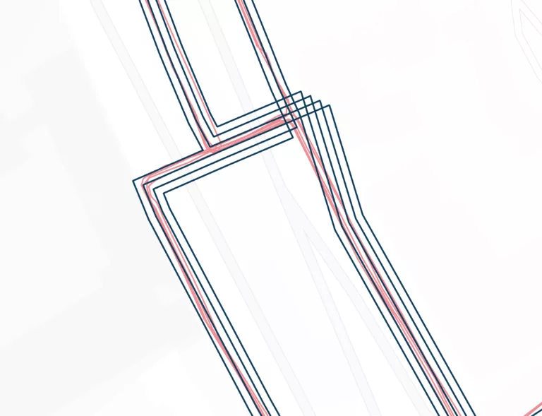
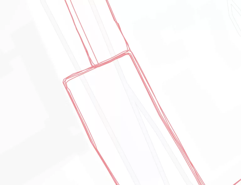
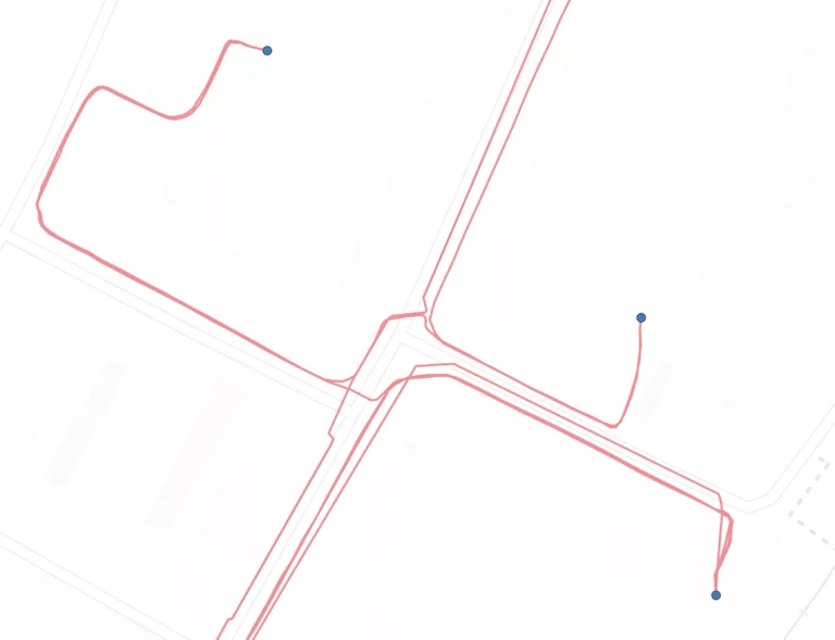
Clean line routes
Winding routes are simplified. Parallel lines are detected and drawn with a standard spacing, so that each cable stands out clearly from the others and line crossings are kept to a minimum.
BeforeAfter
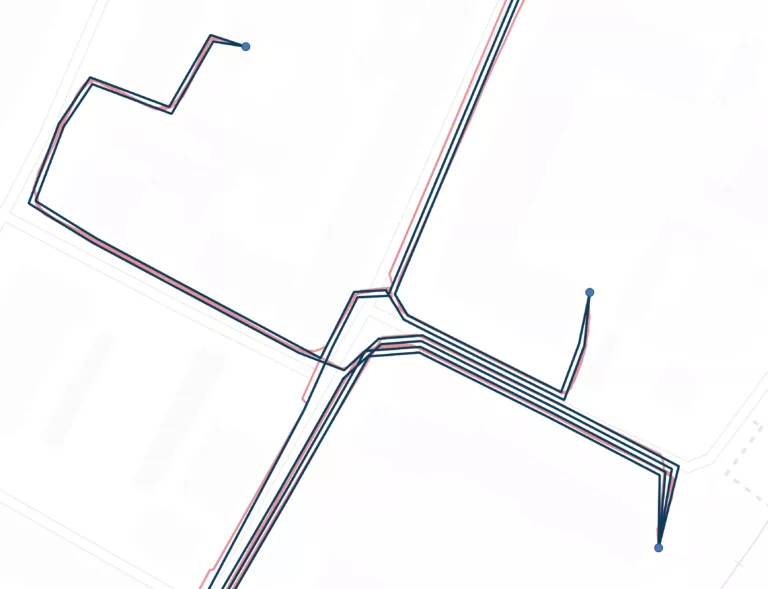
Familiar landmarks
Substations and connection boxes stay at their real location, so your teams recognise their network at a glance.
BeforeAfter
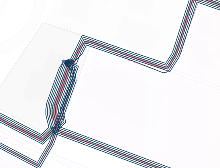
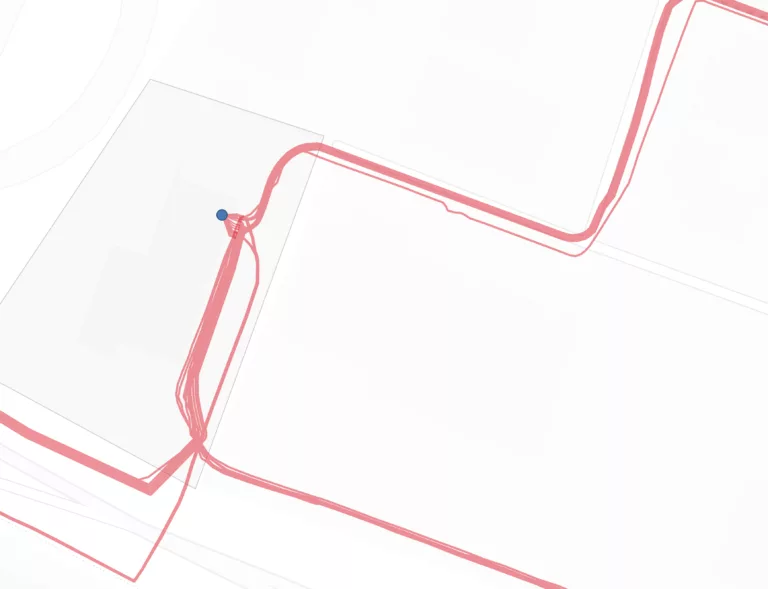
Readable substations
Departures are distributed optimally in a fan pattern around the posts, based on the network topology.